
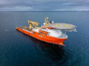


Site surveys and Geohazard Investigation
Marine site surveys for geo-hazard investigation.

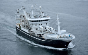
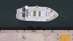
Reach are one of few survey contractors with the experience and expertise to undertake marine site surveys for geohazard investigation. Site survey data can be applied to a number of uses including rig emplacement, drilling geohazard investigation or wind farm development.
Since 2018, we have carried out several workscopes where we have been responsible for full-service provision of vessel, survey, geophysical, geotechnical and environmental services, and we are fully prepared to deliver a turnkey solution for this scope of work.
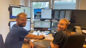
All clients benefit from a wealth of survey and positioning expertise supplemented by experienced in-house engineering, reporting and GIS personnel.
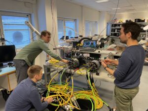
We offer a range of site survey options and take pride in being flexible with equipment specification to meet the needs of the client and achieve the best results in the chosen survey environment.
A typical Reach site survey solution includes (though is not limited to):
- High and ultra-high resolution 2D seismic
- Multi-beam echo sounder (MBES)
- Side scan sonar
- Sub-bottom profiler
- Magnetometer
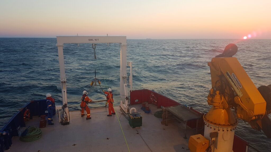
- A range of geotechnical options (CPT, vibrocore, gravity core, etc.)
- ROV for inspection or environmental applications
Custom størrelse på bilder:

Alignwide på bilder: