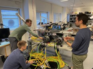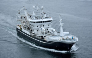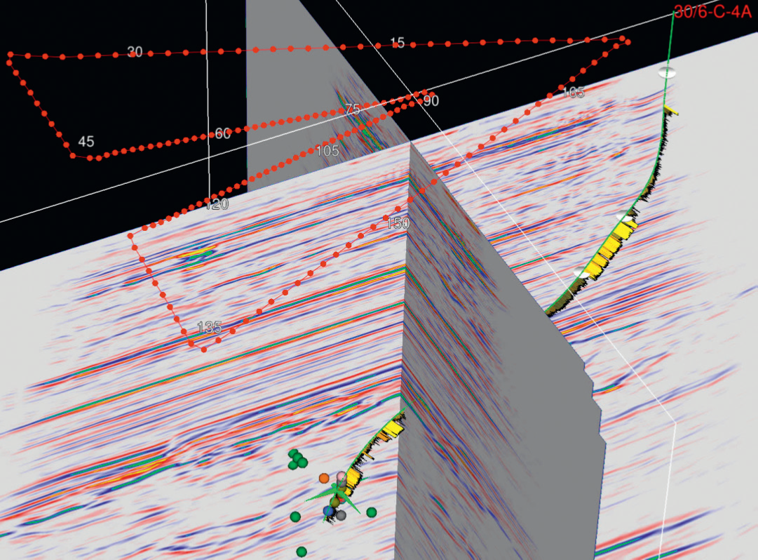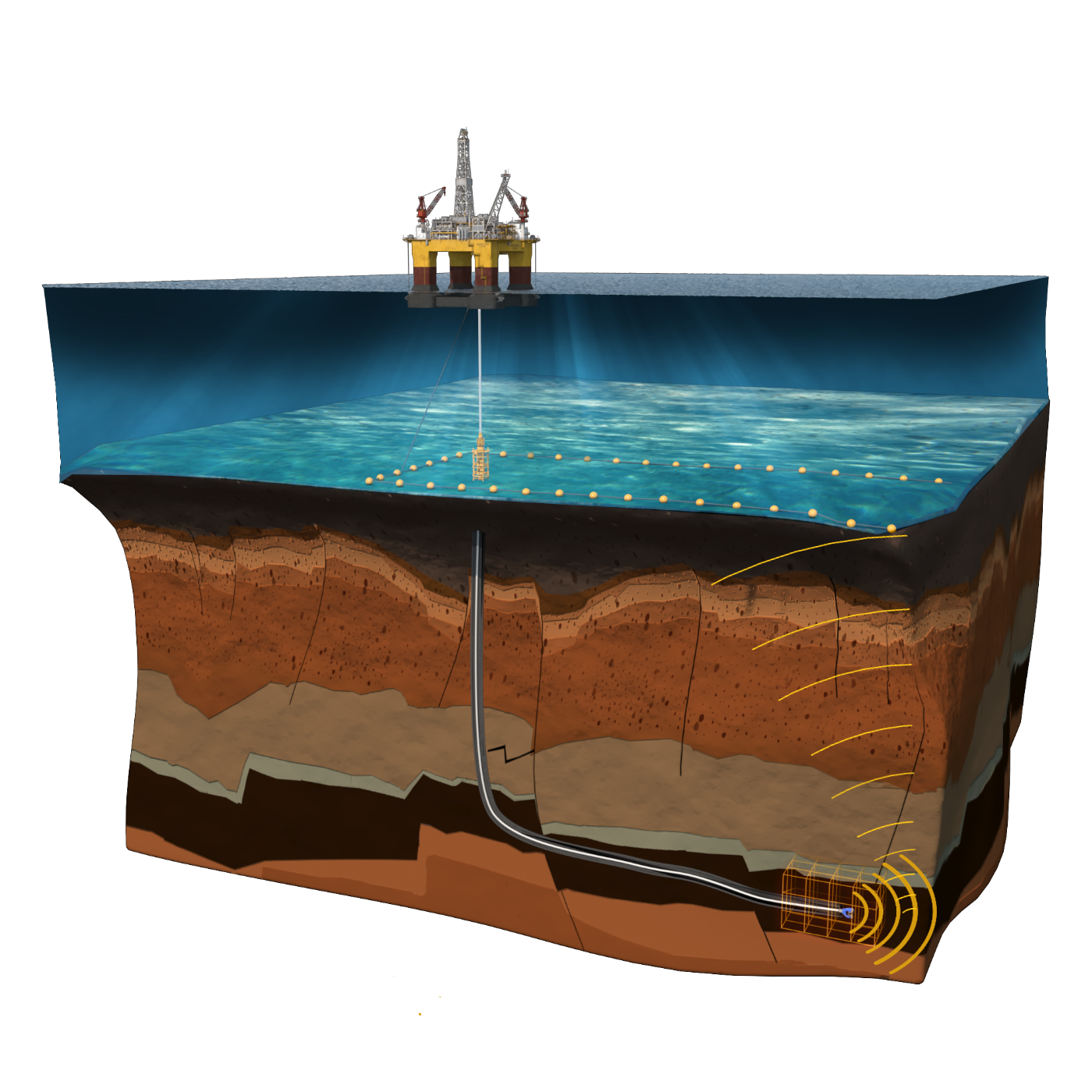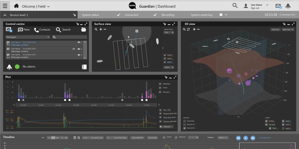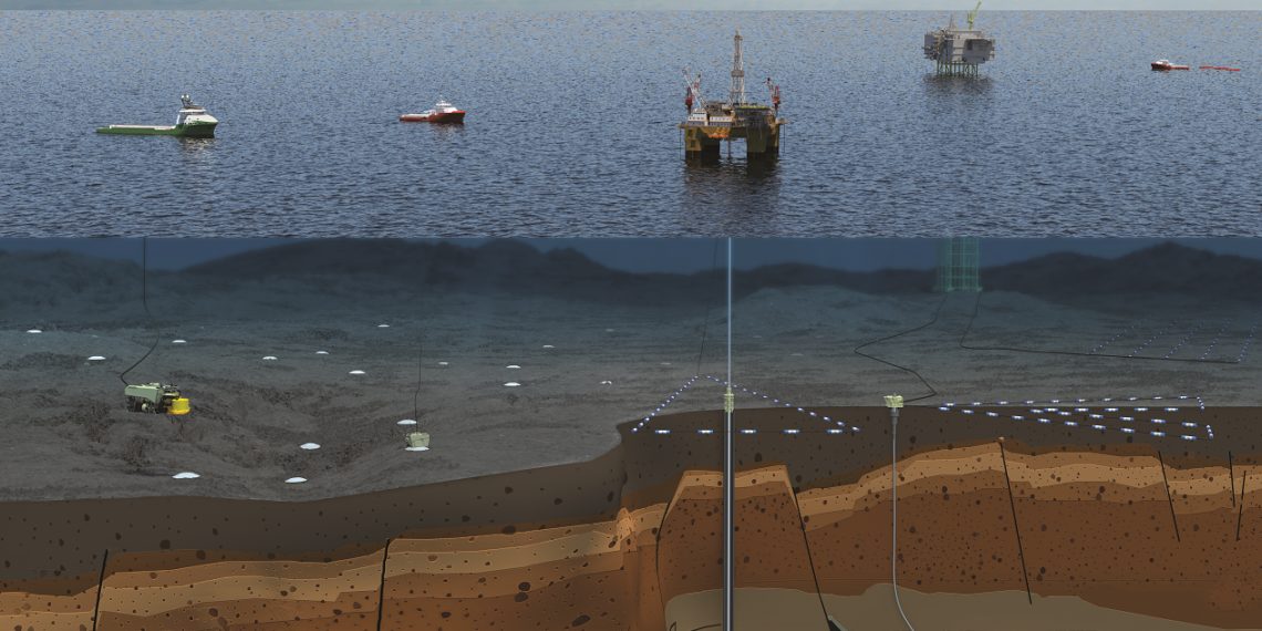
Our services are complete, covering all the phases required to convert geophysical data into value for our clients. Reach Subsea performs the geophysical studies that lead to overall monitoring strategies; plans and executes operations and provides support to integrate data in interpretation workflows.
Services
Projects
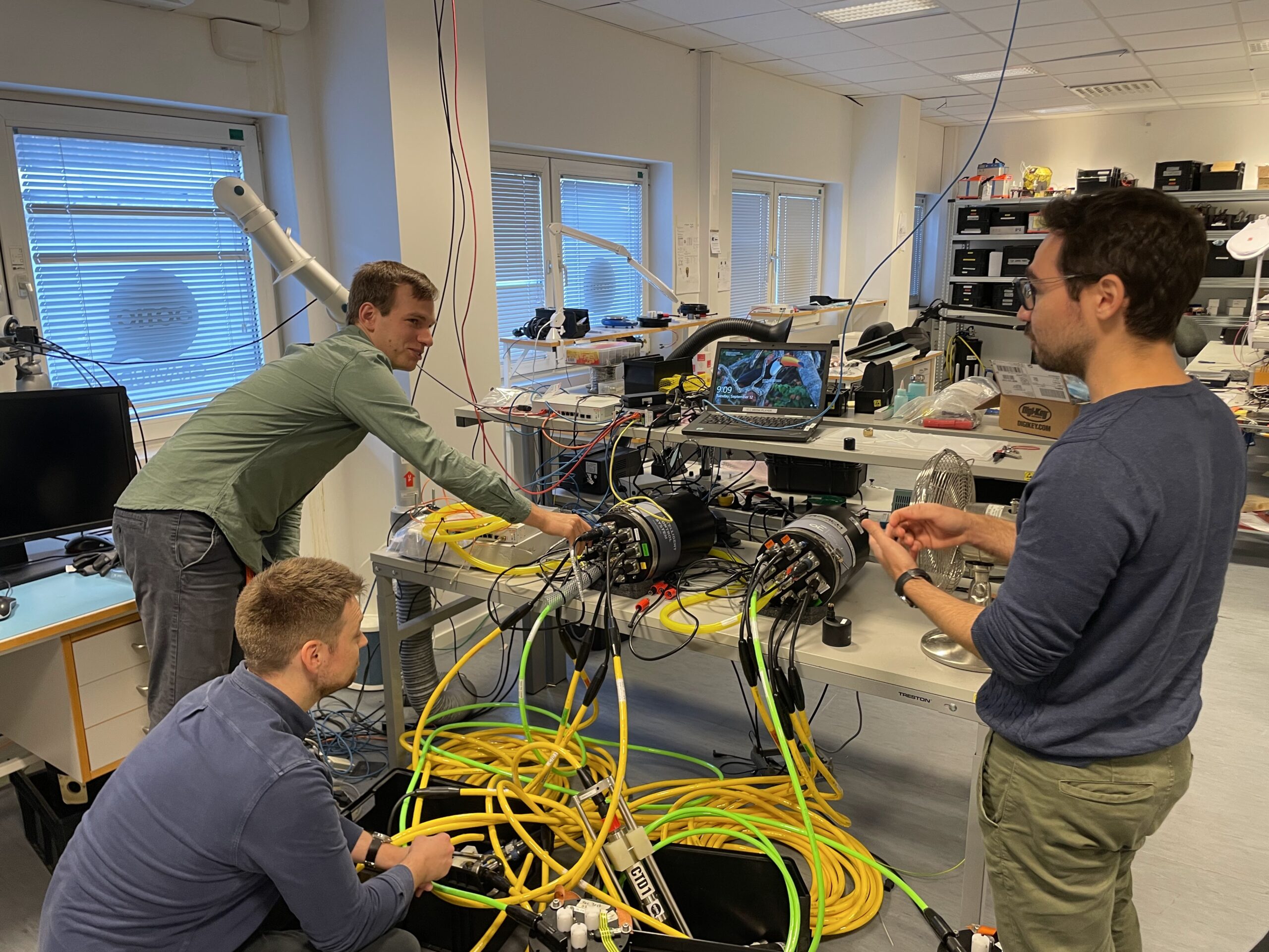
Unlocking enhanced value in 4D Seismic with Reach Subsea’s DepthWatch technology: insights from Reach Subsea and Shell
The acquisition of time-lapse subsurface imagery is instrumental in pinpointing untapped reserves and refining the extraction process. Among the most commonly employed technologies for subsurface imaging is 4D seismic. The integration of Reach Subsea’s DepthWatch service into 4D seismic surveys significantly enhances imaging capabilities, all while incurring only minimal additional costs for clients. Moreover, this […]
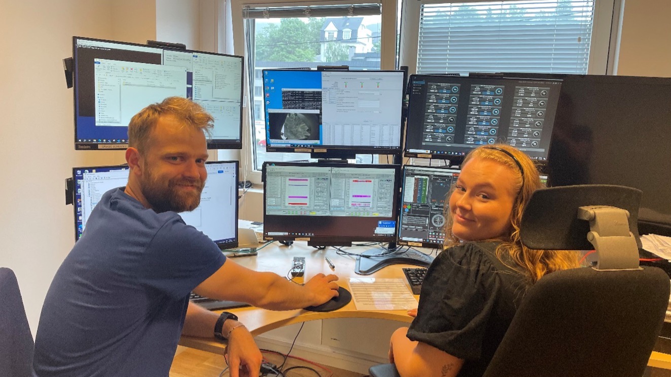
Reservoir monitoring surveys using gWatch at several Equinor-operated gas fields
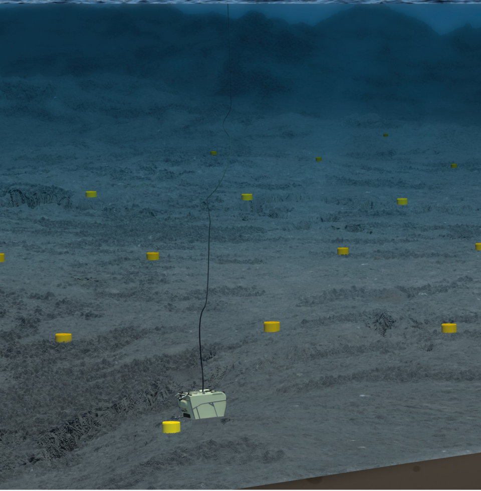
Reach Subsea, offering high-quality solutions and technology to clients in need of ocean data and services, recently announced a notable accomplishment. The company has been awarded a contract encompassing surveying, monitoring, and subsea services, provided as an integrated turn-key solution. This milestone further marks the beginning of a gravity and seafloor deformation survey campaign that covers several Equinor-operated gas fields and is scheduled to commence in July this year.
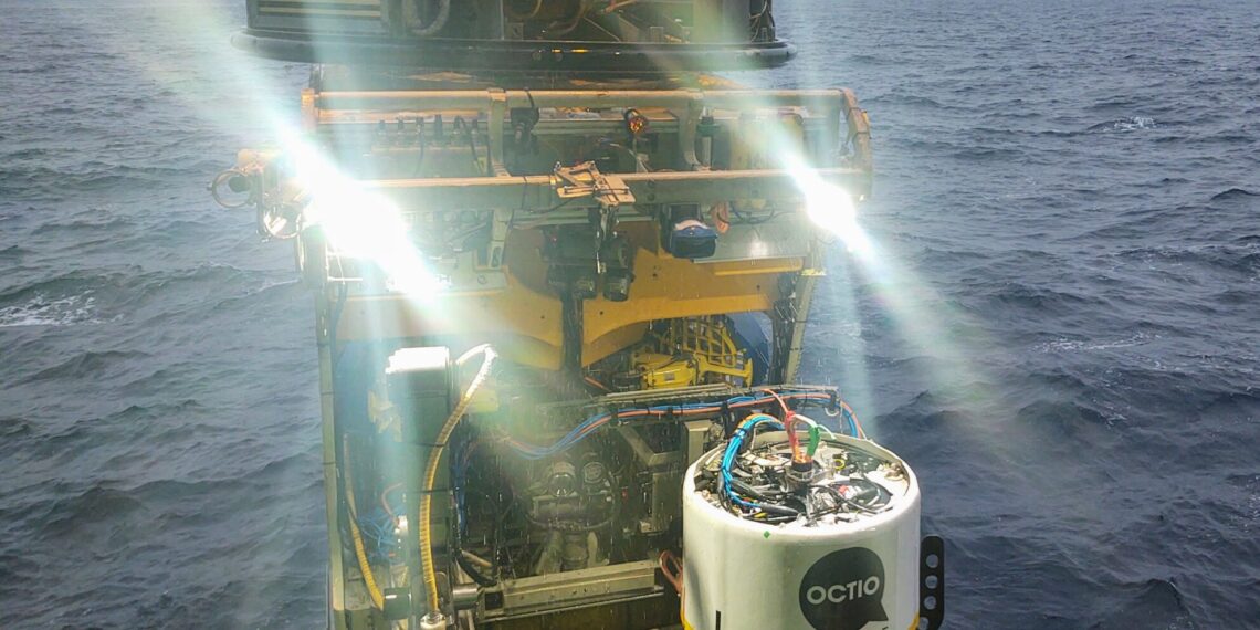
Reach Subsea sets a new milestone for accuracy and efficiency of gravimetry surveys with Shell Norge at Ormen Lange Field
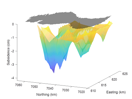
Reach Subsea completed the 7th gWatch survey for Shell Norge and delivered outstanding quality gravimetry and subsidence measurements at the Ormen Lange field.
Gallery
Team
Bergen (NO)

Harstad (NO)

