Unlocking enhanced value in 4D Seismic with Reach Subsea’s DepthWatch technology: insights from Reach Subsea and Shell
| Location | Client | Technology | Surveys |
|---|---|---|---|
| Gulf of Mexico | Shell | DepthWatch | Ocean Bottom Node (OBN) |
The acquisition of time-lapse subsurface imagery is instrumental in pinpointing untapped reserves and refining the extraction process. Among the most commonly employed technologies for subsurface imaging is 4D seismic. The integration of Reach Subsea’s DepthWatch service into 4D seismic surveys significantly enhances imaging capabilities, all while incurring only minimal additional costs for clients. Moreover, this cutting-edge technology enables the precise mapping of seabed deformations due to hydrocarbon depletion, furnishing invaluable insights for ensuring installation safety.
Successful surveys for Shell in the Gulf of Mexico
Reach Subsea has deployed DepthWatch in ten Ocean Bottom Node (OBN) seismic surveys conducted within Shell-operated oil production fields in the Gulf of Mexico.
During OBN surveys, nodes equipped with seismic sensors are temporarily placed on the seafloor. Precise knowledge of these node depths is critical, as inaccuracies can result in blurry seismic images, impairing the ability to detect and interpret changes in the reservoir over time.

The integration of Reach Subsea’s DepthWatch technology into these surveys has significantly enhanced the accuracy of node depth measurements, reducing the margin of error from meters to mere centimeters. In a recent abstract presented at the IMAGE 2023 Conference in Houston, USA, Shell expressed how this adds value to their operations:
Close collaboration and co-ordination with key stakeholders in the project ensured that the DepthWatch measurements were incorporated into the OBN campaign with high operational and cost efficiency
Shell @ IMAGE 2023 Conference in Houston, USA.
The abstract, with Shell and Reach Subsea authors, describes how the incorporation of DepthWatch enhances the value of OBN surveys:
The accurate relative node depths and subsidence measurements are utilized for significantly improved OBN statics solutions, enhancing data repeatability and 4D signals. The resulting accurate seabed subsidence maps and depth shift volumes are useful for updating and calibrating geomechanical and reservoir models, improving our understanding of field-scale compressibility. These results also provide important information for ensuring offshore field integrity.
Reach Subsea and its primary client, Shell, have recently published conference abstracts highlighting the remarkable benefits of DepthWatch. Priyanka Dutta, from Shell, presented the results at the recent IMAGE 2023 Conference in Houston. Hugo Ruiz, G&G Director in Reach Subsea’s Monitoring division, presented the results recently at the Second EAGE Seabed Seismic Workshop in Milano.


Measuring depths of thousands of meters with centimeter accuracy is an extraordinary physics challenge. Through years of R&D, we have developed DepthWatch to address this challenge at OBN campaigns. The fresh results published with our client show how this enhances their ability to image the subsurface, ultimately leading to a more rational and efficient utilization of natural resources
Hugo Ruiz, G&G Director, Reach Subsea Monitoring Division
Reservoir monitoring technology at the core of Reach Subsea
DepthWatch represents a significant advancement building upon Reach Subsea’s proprietary 4D gravity and subsidence reservoir monitoring technology, known as gWatch. gWatch is employed in all major gas and condensate fields in Norway. Results published in collaboration with client oil companies showcase an accuracy of better than two millimeters for measuring seabed subsidence over periods of several years. DepthWatch and gWatch stand alone as the sole technologies capable of delivering such accuracy across extensive areas.
Recent advancements in sensor response time have further enhanced DepthWatch’s capabilities, making it seamlessly integrable into Ocean Bottom Node (OBN) campaigns without extending the operation’s duration or inflating its cost.

Depthwatch – a new standard for all OBN operations
DepthWatch can be used in any OBN operation utilizing ROVs. It provides a boost in quality for 3D and 4D seismic applications, as well as the ability to accurately measure seafloor subsidence.
The ambition of Reach Subsea’s Monitoring division is that DepthWatch becomes a standard addition for all 4D operations involving seabed seismic nodes deployed from ROVs. This will contribute to enhanced production efficiency and installation safety at a very marginal incremental cost for the operators.

Contact Information
John Even Lindgård, Commercial Director Monitoring Division, Reach Subsea
john.lindgard@reachsubsea.com
Publications:
- https://library.seg.org/doi/10.1190/segam2019-3214533.1
- https://imageevent.aapg.org/portals/26/3910135.pdf
About DepthWatch
Reach Subsea provides its expertise and instrumentation to any ROV-based OBN operation. DepthWatch instrumentation is incorporated into the ROV deploying and/or retrieving the nodes. One or two Reach Subsea engineers control the DepthWatch data acquisition from the OBN vessel and from land. Node depth results are provided timely and are available when seismic processing starts.
About Reach Subsea’s Monitoring Division
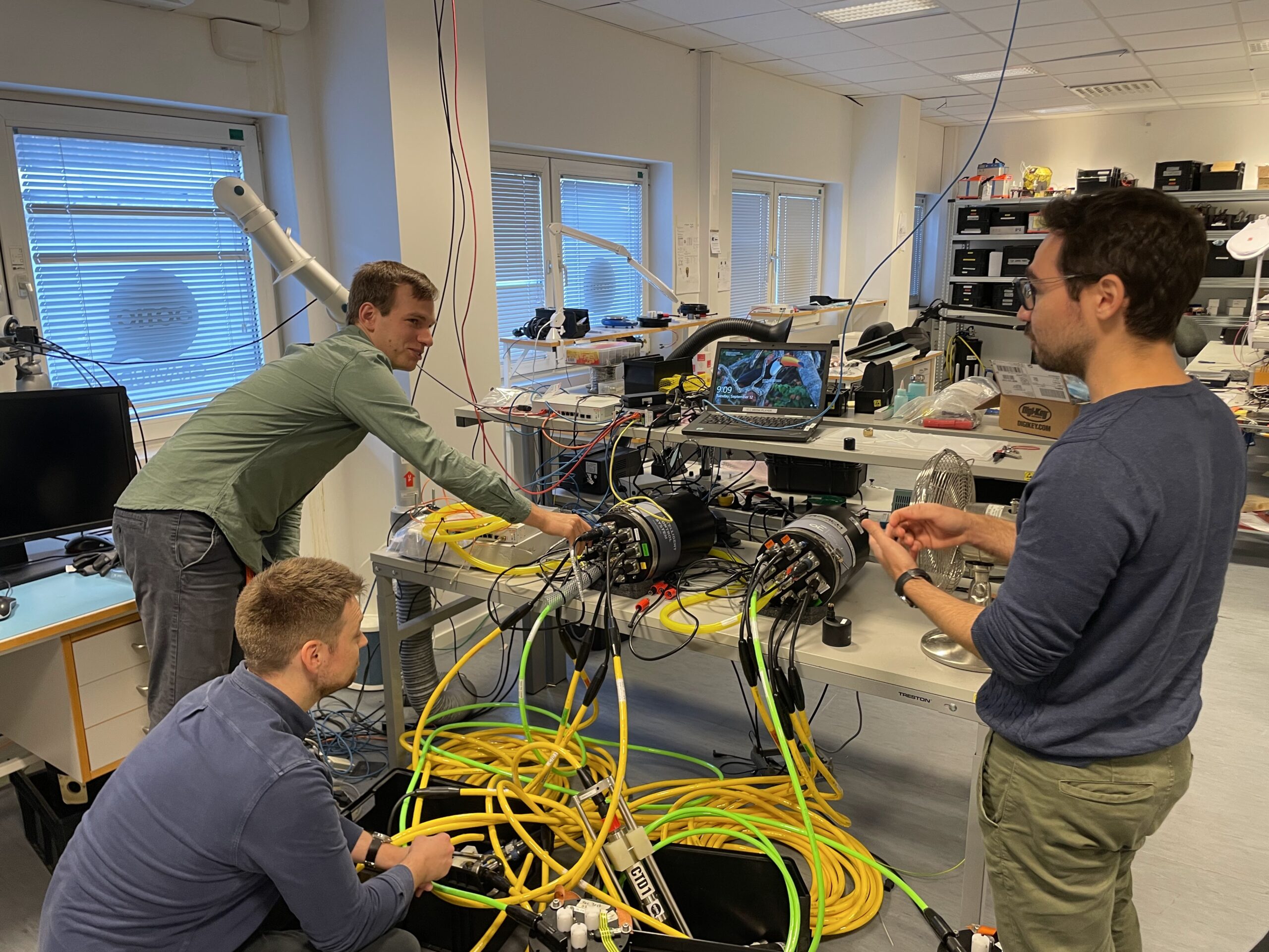
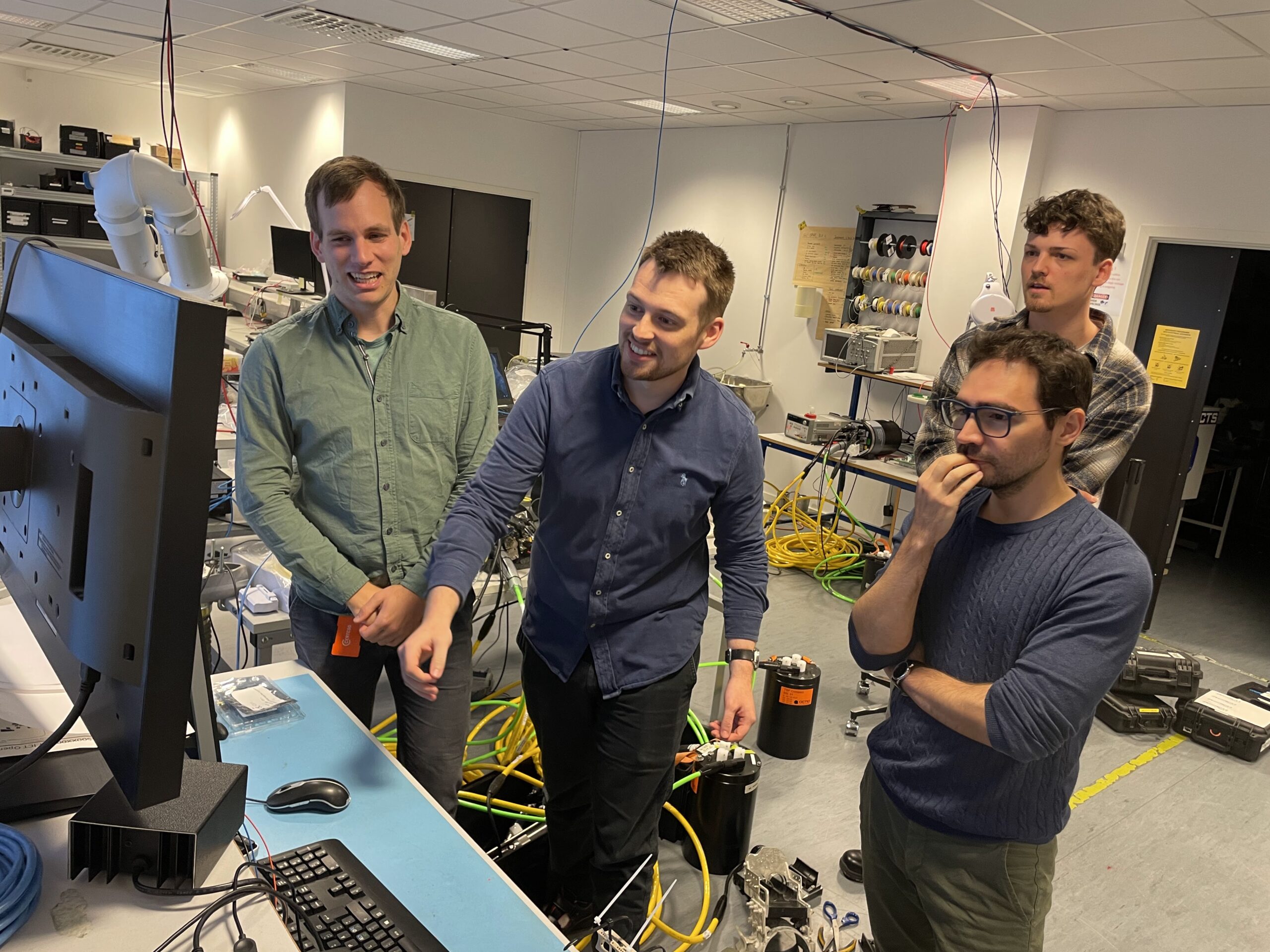
The Monitoring Division within Reach Subsea remains committed to a continuous cycle of research and development. One of its primary goals is to deliver cost-effective and environmentally advantageous monitoring solutions for subsurface applications, specifically targeting hydrocarbon production and carbon sequestration projects. Many of these advancements are detailed in publications prepared in conjunction with our clients. The Reach Subsea Monitoring engineering team has developed the depth measurement instrumentation required for DepthWatch. The instruments feature thermal and mechanical stabilization, tilt sensitivity corrections and the ability to measure depths directly on top of the seismic nodes. The Reach Subsea Monitoring Geology and Geophysics team is responsible for survey design, quality control, and proprietary data processing workflows.
