Seabed Surveys
Reach Subsea delivers geophysical, geotechnical and environmental survey solutions for site survey, pipeline/cable route survey, ROV, seabed mapping and pipeline inspection.

Unlocking enhanced value in 4D Seismic with Reach Subsea’s DepthWatch technology: insights from Reach Subsea and Shell

Reservoir monitoring surveys using gWatch at several Equinor-operated gas fields
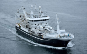
Site Survey Campaign
Reach Subsea delivers geophysical, geotechnical and environmental survey solutions for site survey, pipeline/cable route survey, ROV, seabed mapping and pipeline inspection.
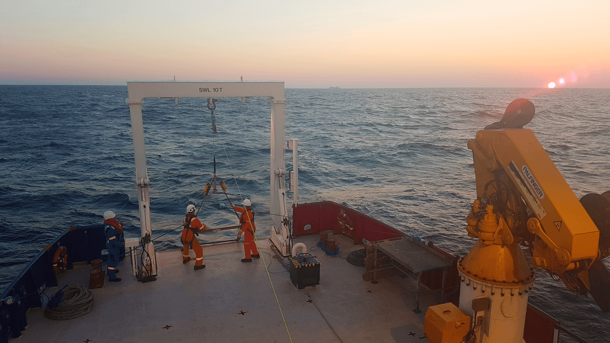
Marine site surveys for geo-hazard investigation.

Pipeline inspection, a stand-alone service or part of an integrated service to end client.
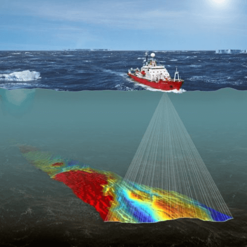
Suitable designed Seabed mapping system
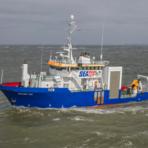
Offering integrated services to locate and identify unexploded ordnance located in the vicinity of a proposed renewables development.
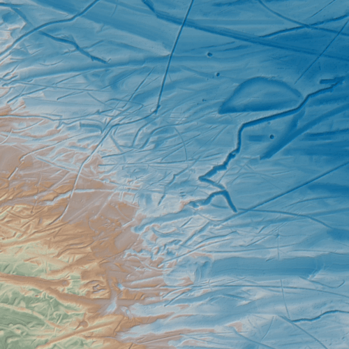
We offer surveys involving geotechnical data acquisition, environmental data acquisition, data processing, charting and reporting.

We offer route surveys involving geophysical data acquisition, side scan sonar data acquisition and sub-bottom profiler data acquisition