


General seabed surveys
We offer surveys involving geotechnical data acquisition, environmental data acquisition, data processing, charting and reporting.
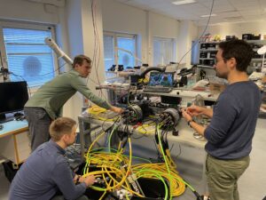
Geotechnical Data Acquisition
We offer ground truthing of geophysical data in the form of Cone Penetration Testing (CPT), Vibrocore, Gravity/Piston core, box core and grab sampling. Geotechnical acquisition is offered as an integrated or independent service to suit our clients needs.
Environmental Data Acquisition
Environmental data acquisition services comprise; stills camera / video and seabed sampling to meet our clients environmental baseline and habitat assessment requirements.
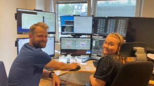
Data Processing, Charting and Reporting
Supporting all elements of data acquisition both during seabed mapping and route surveys, we offers data processing, charting and reporting of the acquired data. We provide clients with the tools and personnel needed to perform data processing, either onboard the vessel or using the Reach office facilities.
We use the Eiva NaviSuite, Sonarwiz, Oasis Montaj and IHS Kingdom together with supplementary tools such as ArcGIS, QGIS and CAD-based charting, all to industry standards. We can provide USBL and DVL positioning post-processing, powerful INS post-processing and automated multi-beam echo sounder data cleaning, all tools which increase the quality of data and increase efficiency to save valuable time.