


Site Survey Campaign
Reach Subsea – Survey division was contracted to perform site surveys utilising high resolution multichannel seismic and a variety of geophysical and geotechnical sensors as well as performing ROV transects for habitat assessment survey.
Project details
| Location: | Norwegian sector |
| Water depth: | 100 – 390 meters |
| Date: | Summer 2019 |
EDITING ONGOING – BELOW TO CHANGE
Scope of work
Reach Subsea – Survey division was contracted to perform site surveys utilising high resolution multichannel seismic and a variety of geophysical and geotechnical sensors as well as performing ROV transects for habitat assessment survey.
The iSURVEY scope of work involved acquisition of the following:
• EM 2040 Multibeam Echo Sounder
• Edgetech 2000 Sidescan Sonar
• Edgetech 2000 Sub-bottom Profiler
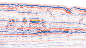
• 2D High Resolution Multi-channel Seismic
• Ultra High Resolution Multi-channel Seismic
• Datem 5000 Cone Penetration Test (CPT)
• ROV Video for environmental assessment
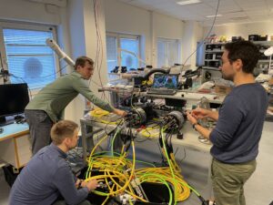
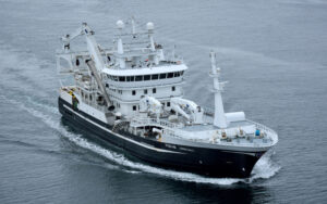
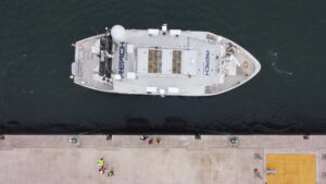
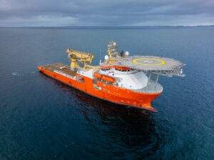
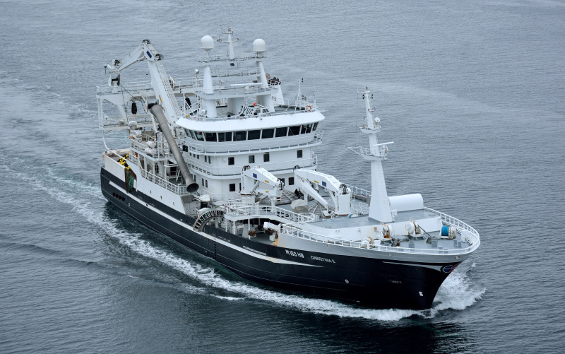
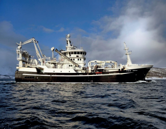
iSURVEY chartered the combined fishing- and research vessel MV Christina E and fitted her with the necessary spread to perform the survey work. The PSV Siem Pride was chartered to cover the ROV part of the Scope of Work. The vessel is very well suited to survey operations and provides a stable survey platform able to acquire high quality data. The vessel has a deep draft (8m) and can fill up vast tanks to increase stability in adverse weather conditions. A Kongsberg EM2040-04 system, capable of acquiring high accuracy bathymetric data to approximately 500 m water depth was fitted to the vessel’s drop keel.
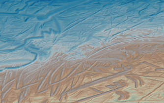
The site survey campaign was spread over locations in the Barents Sea, the Norwegian Sea and the North Sea. The survey is required to mitigate the risk of drilling through potential geohazards, such as shallow gas and seabed obstructions, as well as plan the mooring spread for a semi-submersible rig at the proposed well location and to ensure the environmental impact is minimized.
The seabed and sub-seabed conditions were evaluated based on all acquired geophysical, geotechnical and environmental data. In addition, client provided 3D seimic data and background information was incorporated in the interpretation.
Site Survey Deliverables include:
- Reports
– Field Operation
– Environmental Report including Habitat Assessment Reports
– Geotechnical Report
– Seismic Processing Report
– Geophysical Interpretation Report - SSDM GIS Database
- Data Coverage and Interpretation Charts
- Processed Data