
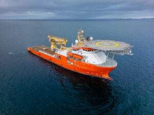


Route survey
We offer route surveys involving geophysical data acquisition, side scan sonar data acquisition and sub-bottom profiler data acquisition

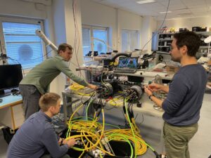
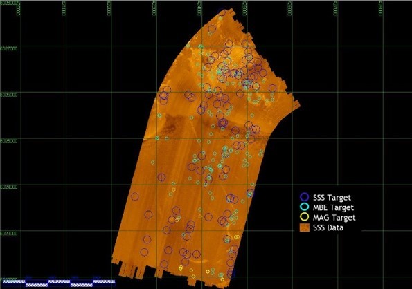
Geophysical Data Acquisition
iSURVEY utilise multibeam echosounder (MBE), side scan sonar (SSS) and sub bottom profiler (SBP) systems to carry out route surveys prior to cable and pipeline laying operations, or subsea construction projects.
Side Scan Sonar Data Acquisition
iSURVEY provides services to acquire high quality Side Scan Sonar (SSS) data. SSS data is used to provide highly detailed imagery of the seabed and potential debris. iSURVEY can provide either ROV, pole-mounted or more traditional towed SSS systems. For towed systems, iSURVEY can provide the client with all the equipment and solutions needed, including winch system, depth sensor, vessel positioning and optionally USBL positioning of the SSS fish.
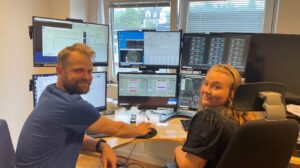
iSURVEY uses industry standard system and processing tools, and are able to deliver data in most known formats, depending on customers requirement.
Typical uses include debris survey, customer seafloor classifications and bathymetric data based on return signal.
Sub-Bottom Profiler Data Acquisition
iSURVEY provides services to gather and provide high quality sub-bottom profiler (SBP) data, using pole mounted or towed sensors. Sub-bottom profilers use low frequency acoustics to penetrate into the seafloor. iSURVEY is able to deliver data acquired with sub-bottom profilers to customers in most known formats.
Typical uses include detecting top layer thickness, pipe/cable detection, buried objects and customer geological and geophysical analysis.