


Geophysical and UXO Power Cable Route Survey
| Location | Water Depth | Client | Date |
|---|---|---|---|
| Carnoustie to Seagreen OWF | 12 - 69 meters | Nexans Norway AS | Summer 2020 |
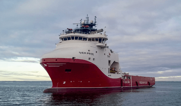
iSURVEY AS was contracted by Nexans Norway AS to provide the Siem Pride, fully equipped with ROV and equipment, to conduct a Geophysical and Unexploded Ordnance (UXO) survey along three planned export routes between Carnoustie (UK) and the Seagreen Offshore Windfarm.
As the main contractor to Nexans, we had full responsibility for the planning and performance of the following:
- Preparation for the complete work
- Mobilising the Siem Pride and IKM Merlin ROV
- Data acquisition, processing, interpretation and reporting
Survey system provided included:
- Surface and Subsea positioning
- Precision INS positioning
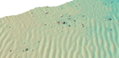
- Dual Head Multi-beam
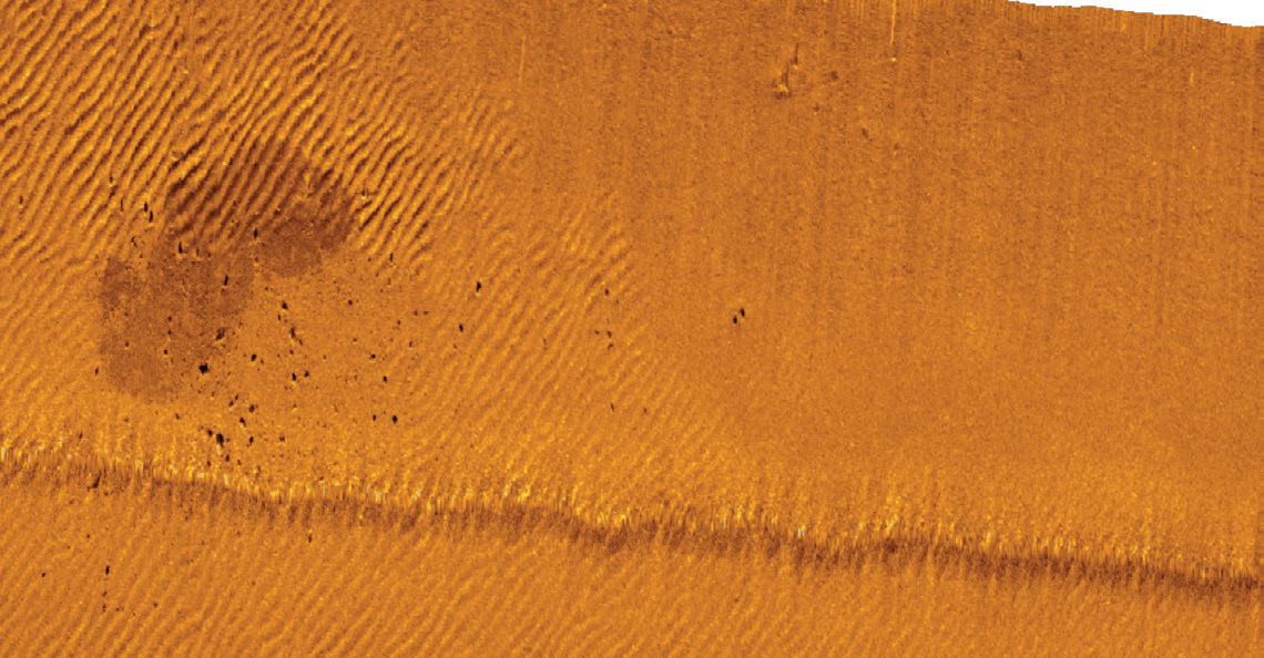
- 600kHz Side Scan Sonar
- Sub Bottom Profiler
- Transverse Gradiometer System
- General HD Video Inspection
The operation was divided into two parts; the geophysical survey, and the UXO survey, including video coverage.
The Geophysical Survey contained coverage of a 20-meter corridor with multi-beam, side scan and sub bottom data along the center line of the three planned routes, running from the onshore transition station at Carnoutsie out to the offshore platform at Seagreen Windfarm – a distance of 58km.
The UXO survey acquired gradimoter data and video along the same center lines, with two additional winglines carried out to get the sufficient coverage required
The main purpose of the survey was to document the planned routes in order for Nexans Norway to perform further assessment and engineering. There was a focus on the following
- Establishing seabed conditions and potential obstructions
- Defining sub-seabed soils, conditions and environmental interests
- Identifying magnetic anomalies and potential UXO targets
- Visually inspecting the route

The final delivery to Nexans included:
- Multi-beam Echosounder DTM
- Sidescan Sonar Mosaic
- Geophysical Interpretation Report
- Alignment Charts
- SSDM GIS Database
- Field Report